I love the website of the U.K.-based Cloud Appreciation Society. Where else can you post photographs of Pacific Northwest clouds you don't understand before you go to bed and have your answer by the time you log in the next morning?
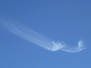
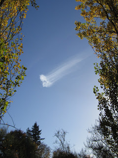
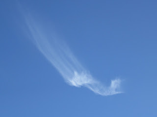
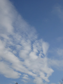
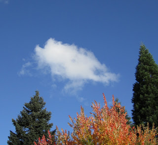
A few days ago, I posted here a blog titled Ice Comet?, which featured the strange behavior of the cirrus cloud (above) and my attempt to explain what was happening to it. I could not find a match for this particular comet-like cirrus in any of my cloud field guides or online resources. I understand the basics of cirrus formation in the upper atmosphere, but this one didn't fit any progression I had encountered.
So, I posted my blog on the Cloud Appreciation Society's General Discussion Forum where thousands of cloud lovers around the world chat and share their observations and exquisite photos of clouds. I received this reply from some helpful someone:
I will post his thoughts on this curious cirrus next week. Meanwhile...don't forget to look up.
A few days ago, I posted here a blog titled Ice Comet?, which featured the strange behavior of the cirrus cloud (above) and my attempt to explain what was happening to it. I could not find a match for this particular comet-like cirrus in any of my cloud field guides or online resources. I understand the basics of cirrus formation in the upper atmosphere, but this one didn't fit any progression I had encountered.
So, I posted my blog on the Cloud Appreciation Society's General Discussion Forum where thousands of cloud lovers around the world chat and share their observations and exquisite photos of clouds. I received this reply from some helpful someone:
I do not know how to beginning thinking about "wind shear around a dew point boundary." The mind fairly boggles. Which is the beauty of clouds.I have sent photos of this cloud onto an actual meteorologist who lived and breathed Pacific Northwest clouds for thirty years.
A nice piece of observation, Maria, and well recorded. I am not an expert, but happy to offer some thoughts. As you suggest, it is Cirrus uncinus and I would suggest CH1.The RK Pilsbury photo coming closest to yours: http://www.metoffice.gov.uk/publications/clouds/ch1/eg2.html
Yours is unique in my limited experience in having but one cloud, and one with a filament which is both rotating and in unusual directions.
For CH1, Richard Hamblyn, The Cloud Book, says '... are usually formed when layers of relatively dry air ascend in the upper troposphere, the small amount of vapour then subliming into ice when it meets its subzero dew point...'.
Thereafter the wind picks up the falling ice crystals and draws them into the filaments. I would hazard a guess that you must have some wind shear around that dew point boundary.
I will post his thoughts on this curious cirrus next week. Meanwhile...don't forget to look up.

